HISTORY OF THE DIOCESE
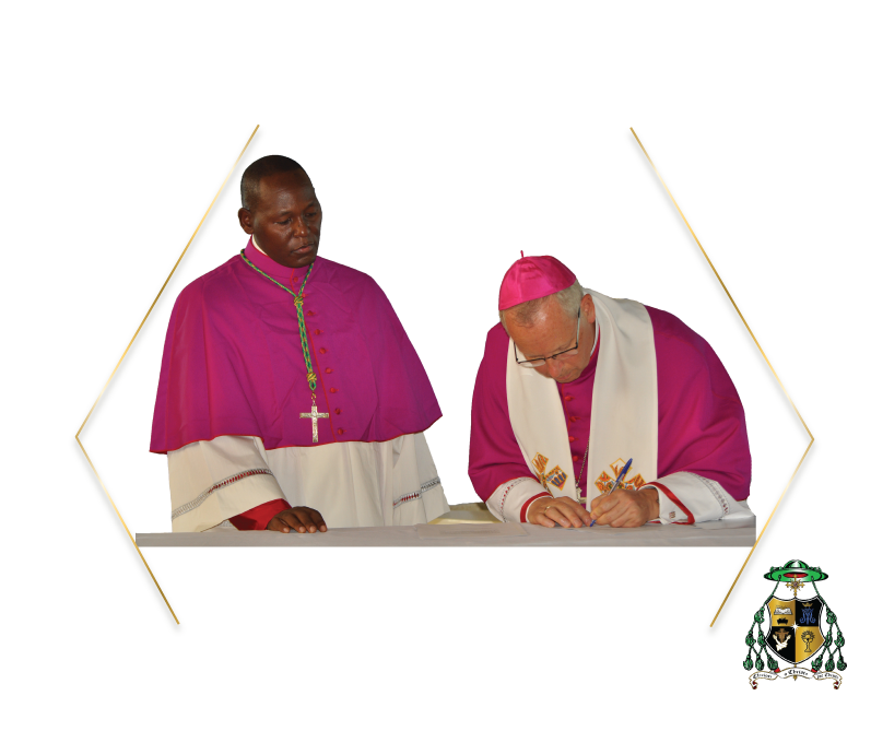
The Catholic Diocese of Garissa was established by St. Pope John Paul II of happy memories on February 3, 1984 with Bishop Emeritus Paul Darmanin as the first Bishop (1984- 2016). He was succeeded by Bishop Joseph Alessandro.
The first evangelization can be traced back to the last part of the 16th century through the Portuguese Augustinian Missionaries in Faza, on the island of Pate, and in Lamu.
The Holy Ghost Fathers were the first Catholic Missionaries from Mombasa, to establish a community in Wema and later in Hola in the late 1940’s. In 1968, the Consolata Missionaries from Meru started to work in Garissa and later moved to Wajir and Mandera. In 1974, evangelization in the area was entrusted to the Capuchin Friars of the Province of Malta. In 1976, the territory which formed part of Mombasa and Meru dioceses was declared a Prefecture Apostolic and elevated to Diocese in 1984. In the year 2000, the southern part of Garissa Diocese (Wema, Garsen, Mpeketoni and Lamu) was detached from the Diocese of Garissa to form part of the new Diocese of Malindi. The Diocese covers 142,704 Sq. kms and has seven parishes, that is, Garissa, Hola, Wajir, Mandera, Bura- Tana, Emmaus and Wenje with an estimated population of 813,330. As part of its Evangelization Mission, the Diocese is awake to the fundamental questions accompanying the human journey from the very beginning. This takes on even greater significance in our own day, because of the enormity of the challenges, the novelty of the situations and the importance of the decisions facing modern generations.
St. Pope John Paul II reminds us that “At the dawn of this Third Millennium, the Church does not tire of proclaiming the Gospel that brings salvation and genuine freedom also to temporal realities…“To the people of our time, her travelling companions, the Church also offers her social doctrine.” The main impetus of CDG’s work in this regard concerns on-going spiritual formation and social-economic transformation/ development of target communities. “Love faces a vast field of work and the Church is eager to make her contribution with her social doctrine, which concerns the whole person and is addressed to all people.”
St. John Paul II, Apostolic Letter Novo Millennio Ineunte, 50-51: AAS 93 (2001), 303-304. The Diocese runs a number of Pastoral and Development programs in collaboration with various actors. Such stakeholders include amongst others beneficiaries/faithful; peer institutions, other Churches and Church structures; people of other Faiths; the Government of Kenya (GoK); as well as various development partners.
The Catholic Diocese of Garissa serves Garissa County, Wajir County, Mandera County and part of Tana River County. Garissa County covers an area of 44,174.1 Km2. The county borders the Republic of Somalia to the East, Lamu County to the South, Tana River County to the West, Isiolo County to the North West and Wajir County to the North1. It has six sub-counties which include: Fafi, Garissa, Ijara, Lagdera, Balambala and Dadaab. Wajir County borders Somalia to the East, Ethiopia to the North, Mandera County to the North East, Isiolo County to the South West, Marsabit County to the West and Garissa County to the South. The county comprises of eight sub-counties namely Wajir East, Tarbaj, Wajir West, Eldas, Wajir North, Buna, Habaswein and Wajir South. It is further divided into 28 divisions, 128 locations and 159 sub-locations.
The county has 6 constituencies namely Wajir East, Tarbaj, Wajir west, Eldas, Wajir South and Wajir North and has 30 electoral wards. Wajir North and Wajir South constituencies have the largest number of wards at 7, and the rest have 4 each2. Mandera County has a population of 1,025,756 (2009 census)[1] and an area of 25,797.7 km². The county has six constituencies:, Mandera West Constituency, Mandera East Constituency, Mandera North Constituency, Banissa Constituency and Lafey Constituency. Tana River County, borders Kitui County to the West, Garissa County to the North East, Isiolo County to the North, Lamu County to the South East and Kilifi County to the South. The county lies between latitudes 000’53” and 200’41’’ South and longitudes 38025’43” and 40015’ East. The county has a total area of 38,862.2 Km2 with a projected population of 349,338(KNBS, 2018) and covers about 76 kms of the coastal strip.
The County is composed of three administrative sub-counties namely: Bura, Galole and Tana Delta, and three constituencies namely: Galole, Bura and Garsen with 15 electoral wards
Mission
- Building on the foundation of faith through evangelization, collaboration and holistic development for sustainability

Core Values
Vision
An empowered Servant Church rooted in gospel values.
